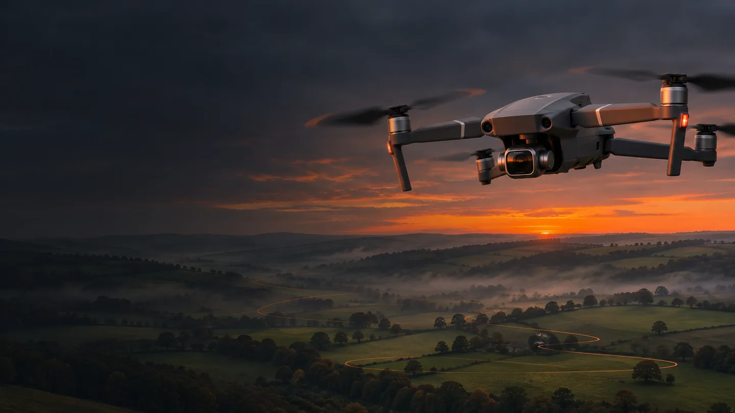
The sky, choreographed. The ground, understood. A complete field guide to getting extraordinary things from the aircraft you already own.
Unleash NemesisMAVIC 2 PRO × IPHONE FIELD GUIDE / 19 NOV 2026
AI-generated editorial illustration
20 MPA camera with work left to do
5Connected learning chapters
4KDeliberate cinematic movement
∞Reasons to keep exploring
00 / NIX FIELD NOTES
Old aircraft. New possibilities.
There is a particular pleasure in discovering that a familiar machine has another chapter in it. Nemesis, my DJI Mavic 2 Pro, can still be a remarkably capable creative tool: a camera travelling through a carefully written scene, a collector of overlapping field photographs, or the starting point for a navigable model of a real place.
This Lab joins those ideas into one practical journey. Start with the camera move. Learn what the aircraft and software actually support. Calculate a capture plan. Bring home useful images, then turn them into something worth studying or watching. The clever part is rarely a spectacular specification. It is making the right decisions in the right order.
Use the new browser-based Litchi Hub for mission planning, 3D previews and its mapping tools. Select the appropriate original-Litchi workflow for the Mavic 2 Pro. A feature appearing in the planner is not proof that every connected aircraft implements it.
Fly with the original iPhone app
Your execution app is Litchi for DJI Drones, connected to the Mavic 2 Pro controller. Litchi Pilot and the DJI Fly / Hub Bridge workflow serve other aircraft and controllers. They are not interchangeable instructions for this setup.
Verify the transfer
Sign into the same Litchi account, save the mission and reopen it on the iPhone before leaving home. Check altitude references, headings, gimbal modes, speed and capture settings on the actual aircraft. Test a short, open-space mission before extending it.
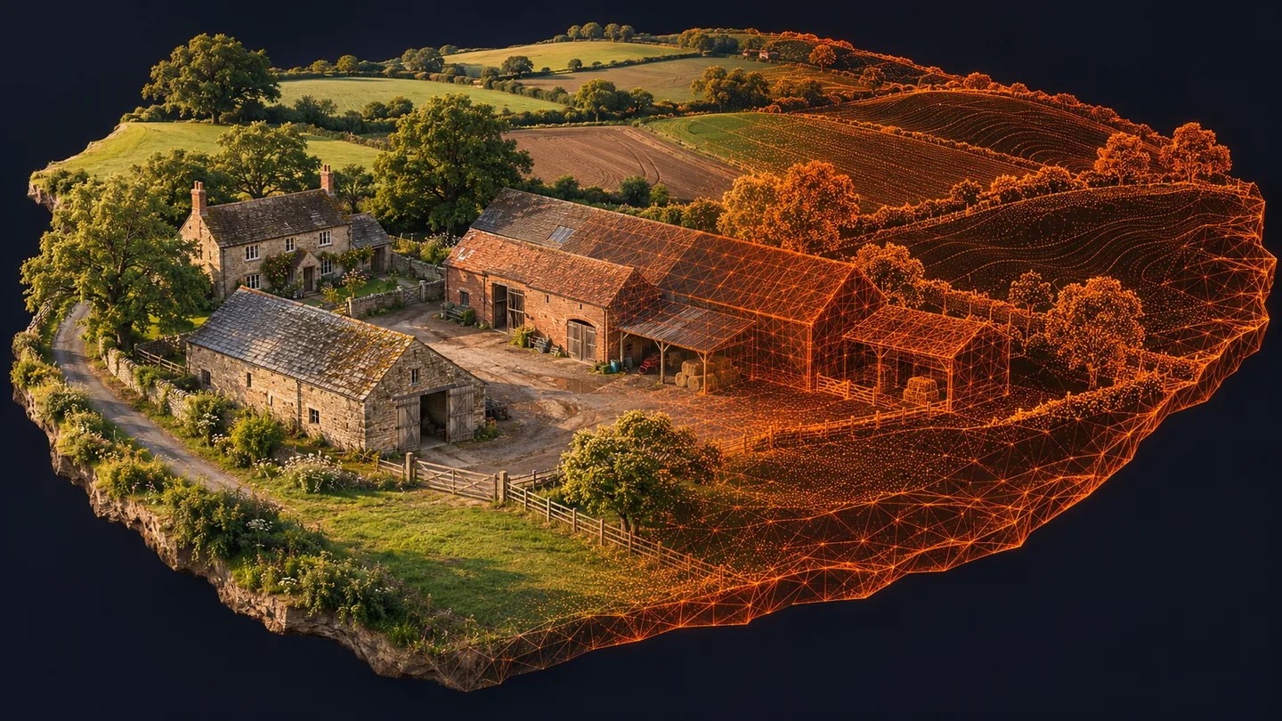
AI-generated editorial illustration: a farmyard imagined as a digital reconstruction. It is not measured survey data.NIX FIELD NOTES
Choose the result before the route.
A cinematic mission asks, “What should the viewer feel?” A mapping mission asks, “What must be visible in enough photographs to reconstruct reliably?” A 3D capture asks, “Which surfaces have I not seen yet?” All three may use the same aircraft. Their camera settings, paths and success criteria are different.
For a film, slow shutter and elegant motion can be desirable. For mapping, blur destroys repeatable detail. For a beautiful 3D scene, oblique views reveal walls; for a clean field orthomosaic, consistent nadir coverage is the foundation. A grid is not automatically a survey, and a glorious orange wireframe is not evidence of accuracy.
A beautifully drawn route is a proposal. Walk the site, identify people, wires, livestock, changing terrain and recovery areas, and decide whether the flight belongs there at all. The aircraft’s sensors do not certify a safe route. Maintain direct visual line of sight and the applicable 120 m limit from the nearest earth surface; an automated mission does not permit BVLOS.
Legacy aircraft, current rules
The 907 g Mavic 2 Pro needs a Flyer ID and Operator ID, with the Operator ID displayed on the aircraft. Under current UK rules, a legacy aircraft under 2 kg may use A2 with an A2 CofC, keeping at least 50 m horizontally from uninvolved people and avoiding intentional overflight. Otherwise A3 requires at least 50 m from uninvolved people, with greater separation where needed, and at least 150 m from residential, recreational, commercial and industrial areas. Do not apply the closer UK2/C2 distances to this unclassed aircraft.
Permission is part of planning
Check current restrictions and NOTAMs; obtain the relevant aerodrome permission for an FRZ. Arrange take-off and landing permission, respect privacy and plan around public paths. Business or agricultural work needs compliant third-party insurance even if that particular flight is unpaid. If the Open category cannot accommodate the operation, obtain the appropriate authorisation.
For legacy camera aircraft of this weight, the current Remote ID deadline is 1 January 2028. Do not assume an old firmware update makes the Mavic 2 Pro compliant. Check the CAA’s current guidance as that date approaches.