
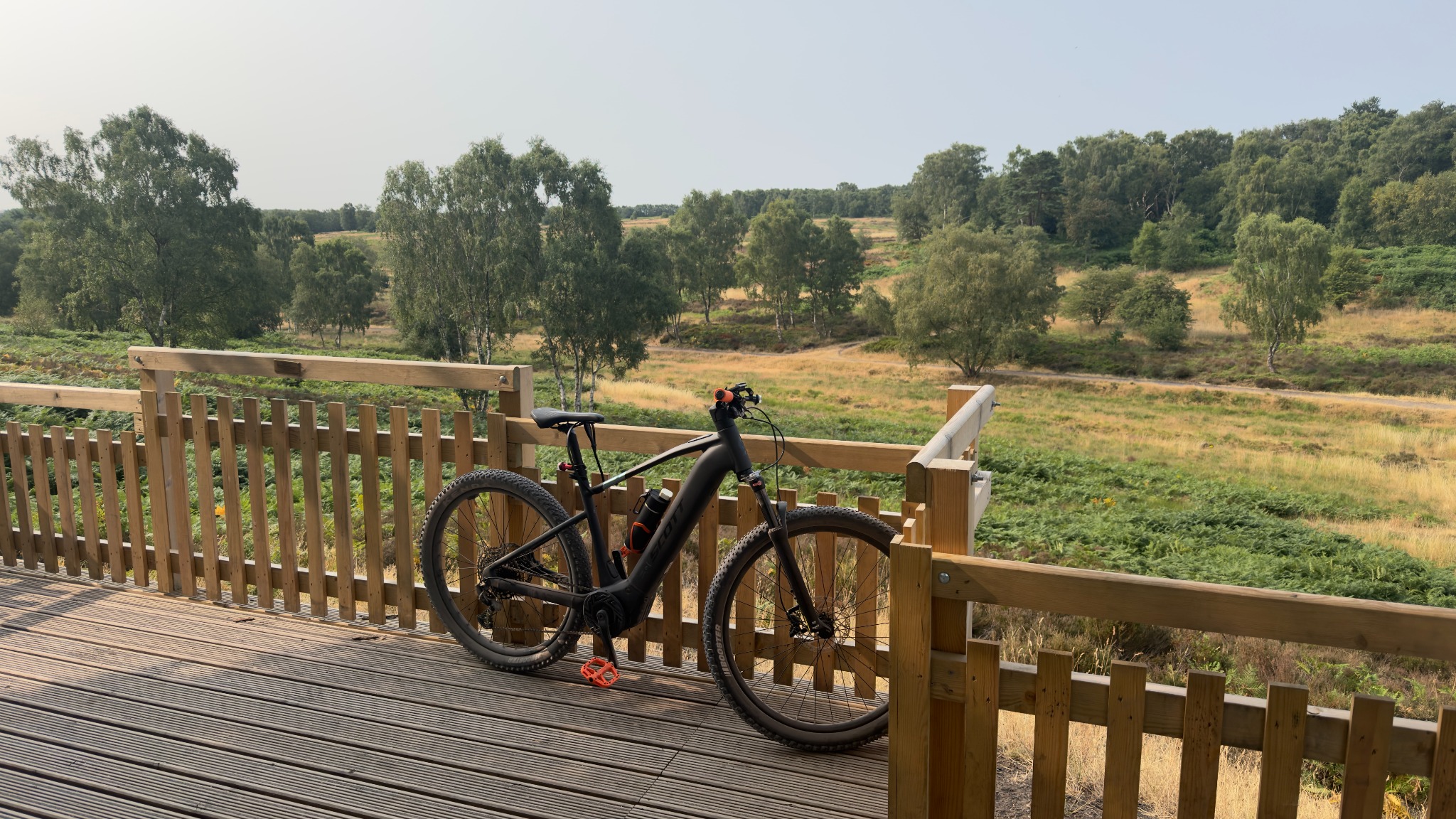
5 July 2026 // Milford · Staffordshire // GPX only
Home to The Wildwood
A route geometry record without the Bosch black box—useful for the map, deliberately silent about sensors it never recorded.
Ride snapshot
GPX is used only for route position and progression. No cadence, rider power, motor power or heart-rate figures are inferred.
The day, point by point.
The route narrative follows the available GPX evidence. Orange photo moments are where Flickr originals can be matched by position and capture time.
The numbers speak.
I translate.
This one survives as a route before it survives as a full report: home to The Wildwood, preserved by GPX and waiting for the Bosch file to add the rest of the evidence.
What GPX can prove
GPX can preserve position, route progression and—when the recording is sound—altitude geometry. It cannot be quietly promoted into rider power, cadence, heart rate or Bosch motor data.
Why the page remains useful
The ride still belongs in the archive because it is part of Torque’s story. Its data badge tells the truth at a glance, and a later FIT upload can deepen the same report.
Verdict
A good route with a quiet black box. The map speaks; the missing sensors are not given comedy moustaches and asked to pose as evidence.
Editorial verdict // Clearly separate from recorded ride data